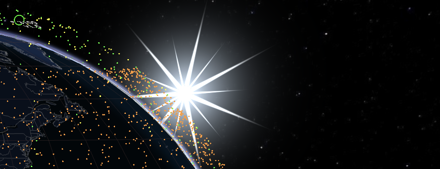
現在のビュー
3D地球を読み込み中...
About GPS 10
GPS 10 (NORAD 15271) is a GPS constellation satellite launched Sep 8, 1984 by AFSD of US. It operates in MEO orbit with a mass of 8.00 kg.
次回通過
Passes for default location (London). Set your location on the main map for personalized predictions.
高度履歴
Loading altitude history...
Y: Altitude (km)
No altitude history available
軌道要素
1 15271U 84097A 26295.51768274 .00000009 00000-0 00000-0 0 9997
2 15271 62.0441 287.0824 0149556 226.8576 238.6479 1.92619160298779
Epoch: Oct 22, 2026 •
Age: 49 hours
現在のステータス
高度 21226.6 km
遠地点 / 近地点 N/A
速度 3.78 km/s
衛星直下点 61.92°N,
133°E
打ち上げ日 Sep 8, 1984
運用期間 42.1 years
タイプ navigation
技術仕様
分類 Payload
質量 8.00 kg
乾燥質量 431.00 kg
総質量 792.00 kg
長さ 2.40 m
直径 2.60 m
スパン 5.30 m
形状 Box + 2 Pan
製造者 RWISB
バスタイプ GPS
フェーズステータス In Orbit
所有者/国 AFSD/US
Most Searched
Loading...