Find UEL-Y-Sys
NORAD ID: 100960 • Int'l Des: 2026-229 • Owner: UEL • Country: KR • operational
Also known as: OBJECT F spacetrack, celestrak
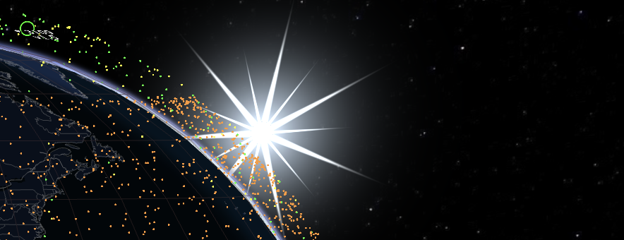
Current View
Loading 3D Globe...
About UEL-Y-Sys
UEL-Y-Sys (NORAD 100960) is a satellite launched Oct 7, 2026 by UEL of KR. with a mass of 10.00 kg.
Upcoming Passes
Passes for default location (London). Set your location on the main map for personalized predictions.
Altitude History
Loading altitude history...
Y: Altitude (km)
No altitude history available
Two-Line Element Set
1 A0960U 26229F 26295.55452995 .00002865 00000-0 25013-3 0 9999
2 A0960 97.6990 31.4868 0010656 44.8545 315.3536 14.97566720 2325
Epoch: Oct 22, 2026 •
Age: 7 hours
Current Status
Altitude 579.7 km
Apogee / Perigee N/A
Velocity 7.58 km/s
Sub-Earth Point 69.11°N,
39.33°E
Launch Date Oct 7, 2026
Age 15 days
Type military
Technical Details
Classification Payload
Mass 10.00 kg
Dry Mass 10.00 kg
Total Mass 10.00 kg
Length 0.30 m
Diameter 0.10 m
Span 0.70 m
Shape Box+ 2 pan
Manufacturer UEL
Bus Type Cubesat 6U
Phase Status In Orbit
Owner/State UEL/KR
Most Searched
Loading...